The Great Trigonometrical Survey of India was founded in the 18th century with the aim of creating a detailed map of the country. Under George Everest’s leadership, the Survey mapped the Great Arc, which was then lauded as ‘one of the greatest works in the whole history of science,’ though it cost more in monetary terms and human lives than many contemporary Indian wars.
Much of the work of the Survey was undertaken by explorers and native Indians known as Pundits, who were trained to spy out and map Central Asia and Tibet. They did this at great personal risk and with meagre resources, while traveling entirely on foot. Mapping the Great Game tells the story of these extraordinary pioneers-their exploits, their adventurous spirit and their tenacity in the face of great adversity
Read on to discover some interesting facts from the book:
Fact 1: A territory could only be acquired and governed when it was known
‘Maps would transform newly won territories- and finally the whole continent- from the unknown to the known. It was essential for British rule to acquire this knowledge for both military and administrative purposes, including the all- important task of collecting revenue.’
Fact 2: Afghanistan was the Door into India
‘From the time of Alexander, the Great, Afghanistan has been a staging post for invaders into India, crossing the Hindu Kush and swooping on to the hot plains of the Punjab. These mountains pose a formidable barrier. One interpretation of its name is ”Hindu killer”, as explained by the famous fourteenth- century Moroccan traveler Ibn Battuta, who wrote: ”Many of the slaves brought to us from India perish while crossing the high passes on account of the severe cold and great quantities of snow.” ‘
Fact 3: William Lambton and George Everest were the first and foremost cartographers that made mapping of India their life’s work
‘At the turn of the nineteenth century, an unusual proposal was put forward to the British authorities in India…The proposal set out to measure the shape of the earth, while intricately mapping India- a scientific project on a scale not previously attempted anywhere on the planet. The idea’s originator was William Lambton, and the venture he began would be completed one day by his successor George Everest.’
Fact 4: Under William Lambton’s leadership, the Great Trigonometrical Survey (GTS) had surveyed an area extending 165,000 square miles, his efforts formed the bedrock of the Survey of India
‘Author Showell Styles has pointed out how there was an element of ”greatness” about [William] Lambton, reflected by how others referred to the things he worked on: the Great Theodolite, the Great Arc and the Great Trigonometrical Survey. Yet today his name is largely forgotten, both in Britain and India. his efforts and accomplishments, though, which formed the bedrock of the GTS, live on through the work of the Survey of India. For many years, his name even appeared on its logo, and a commemorative bust sits today on St Thomas Mount, Chennai, looking out from where he launched his grand project.
Fact 5: George Everest-a cantankerous old sahib-ensured that the Great Trigonometrical Survey (GTS) was as accurate as possible
‘With him [George Everest] at its helm, the GTS had surveyed 57,000 square miles of territory, at a final cost of nearly 90,000 pounds. Although this area was only a third of the total achieved under [William] Lambton’s stewardship, Everest’s survey is considered unsurpassed because of its superior quality. For example, to ensure the highest levels of accuracy, Everest made his triangles as symmetrical as possible. he achieved this by instituting a strict rule that internal angles be kept between 30 and 90 degrees, and preferably closer to 60 degrees. Furthermore, as much as Everest appreciated the size of Lambton’s large triangles, as a general rule, again in pursuit of accuracy, he favoured limiting each side to between 20 and 30 miles, even though this restriction would slow down the rate of advance of his survey.’
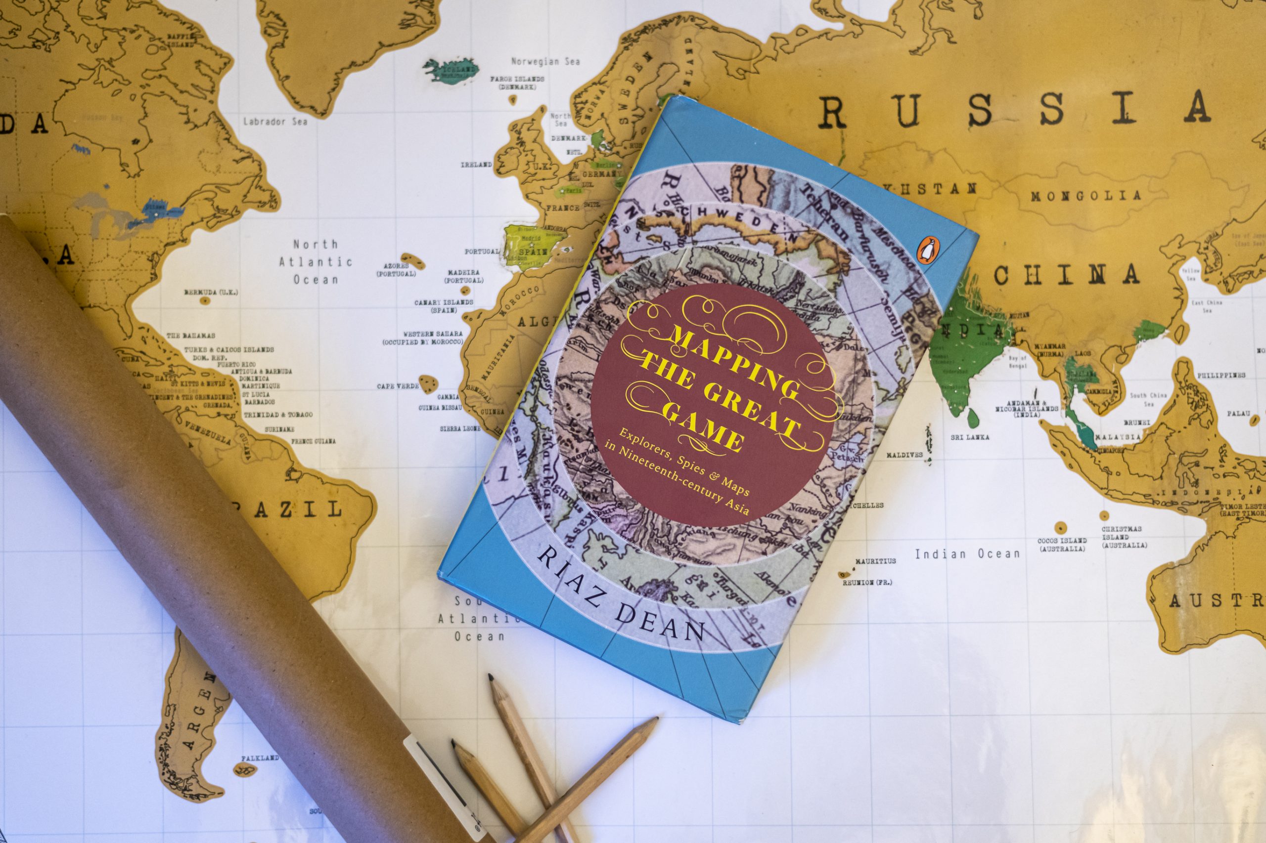
To know more about this thrilling story of espionage and cartography, grab your copy Mapping The Great Game today!