While ‘the game for power’ between Imperial Russia and Great Britain was being played out in the 19th century, a self-educated cartographer named William Lambton began mapping the Great Arc, attempting to measure the actual shape of the Indian subcontinent. It was completed four decades later by a fellow officer working for the Survey of India, George Everest, who would have a special mountain named in his honor.
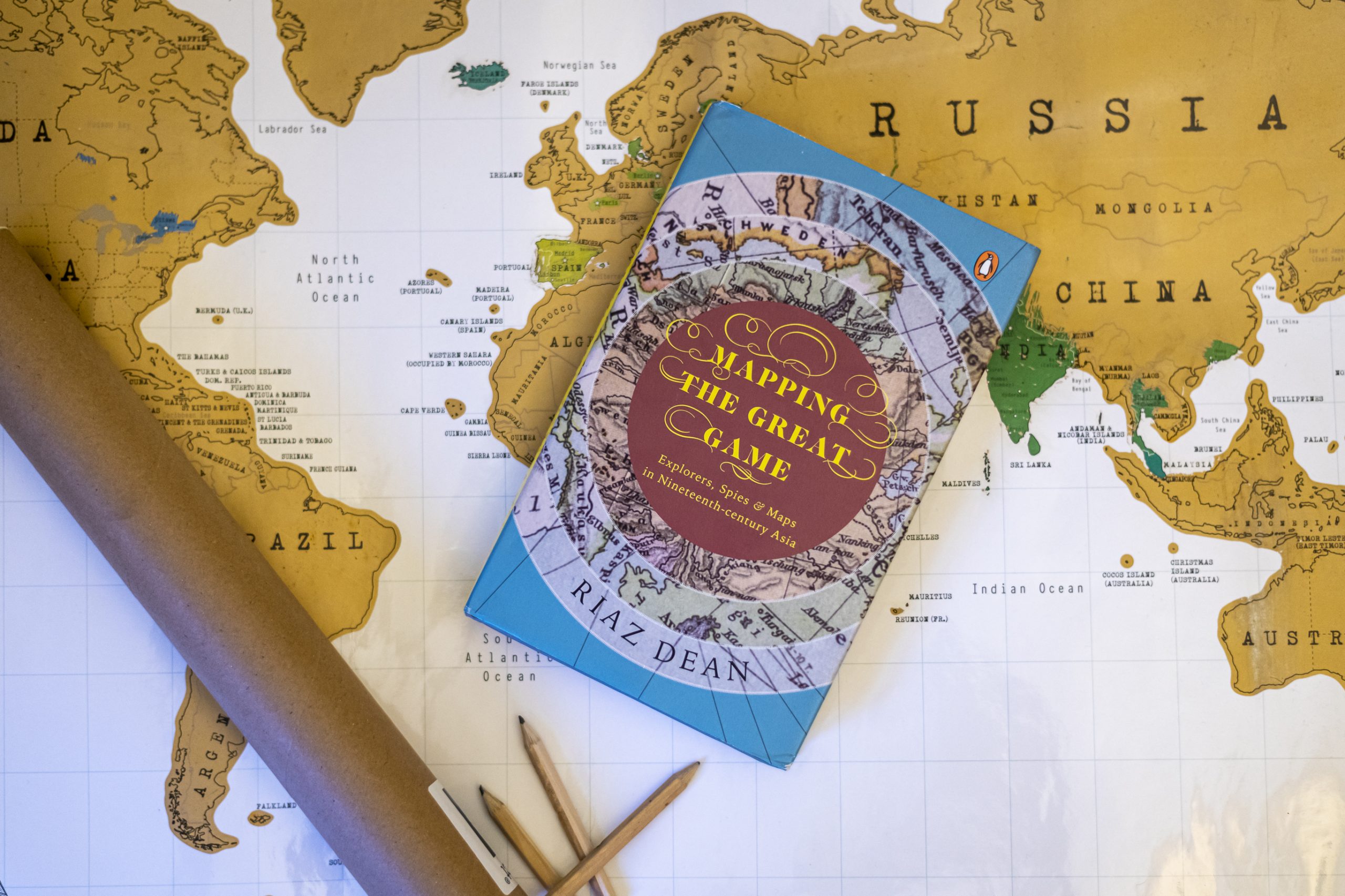
Featuring forgotten, enthralling episodes of derring-do and the most sincere efforts to map India’s boundaries, Mapping the Great Game is the thrilling story of espionage and cartography.
Read an excerpt from the book below:
—–
Now, nothing stood in Lambton’s way: he could embark on his cartographical adventure, and attempt to solve a key question of geodesy he had pondered for many years. It originated from a knotty problem known as ‘spherical excess’, which arises because the earth is essentially a sphere. In effect this means the angles of a triangle, rather than adding up to 180 degrees as they would on a flat surface, actually exceed this figure, albeit ever so slightly. If the triangles being marked out are relatively small, then this impact is minor and can be ignored, as Mackenzie was doing in his Topographical Survey. Conversely, as the land area being surveyed becomes larger than 10 square miles, the mathematics of trigonometry must be adjusted for this effect. Thus, a survey across the whole peninsula would obviously need to take spherical excess into account. But this was only the first part of the conundrum, and actually the simpler of two problems concerning the earth’s shape.
The second and more complex problem arises from the well-understood fact that the earth isn’t a true sphere, but is flatter at the poles as it spins on this axis. Isaac Newton had postulated this in the late seventeenth century, as a natural consequence to his theory of gravitation. It had been proven in the 1730s, by two separate expeditions sent out from France—at great expense—to measure one degree of latitude at two different points on the earth’s surface. This exercise, which took a number of years to complete and involved much hardship, determined a degree to equal 68.7 miles close to the equator, whereas near the Arctic Circle it measured 69.6 miles. This difference proved beyond doubt that the effect was significant, and must be corrected for if a large-scale survey was to be credible.
The geodetic problem for Lambton boiled down to a similar question: what was the length of one degree of latitude around the tropics where Madras lay? If he knew this, he would have the information needed to determine the extent of spherical excess in this part of the world. Such a discovery would not only improve the accuracy of his own survey, but also, as he put it, ‘determine by actual measurement the magnitude and figure of the earth’. It wouldn’t be just an academic exercise either, as ascertaining this dimension would have immense practical value: for example, it would improve the compilation of navigation tables and sea charts. Moreover, by measuring the actual shape of the earth on the subcontinent, the true positions and heights of all its places, including its towering mountains, could be fixed.
Once he had acquired his precious instruments and measured out the base-line, this question was finally answered in 1802, although it would require a year of painstaking work. First, he triangulated a short arc* just over 100 miles long, equivalent to almost 1½ degrees of latitude. Working down the south coast from Madras, this exercise gave him the arc’s precise ground distance, measured in miles. Next, he determined the latitude of both its extremities through astronomical observations and, by subtracting one from the other, determined the arc’s span in degrees. Since these two values were determined independently of each other, by dividing the length of the arc in miles by its span in degrees, he was able to deduce the precise length of one degree of latitude. In this way, he was able to finally determine the spherical excess figure that had eluded him for so long.
Grab your copy of Mapping The Great Game and discover forgotten and enthralling episodes of the most sincere efforts to map India’s boundaries!